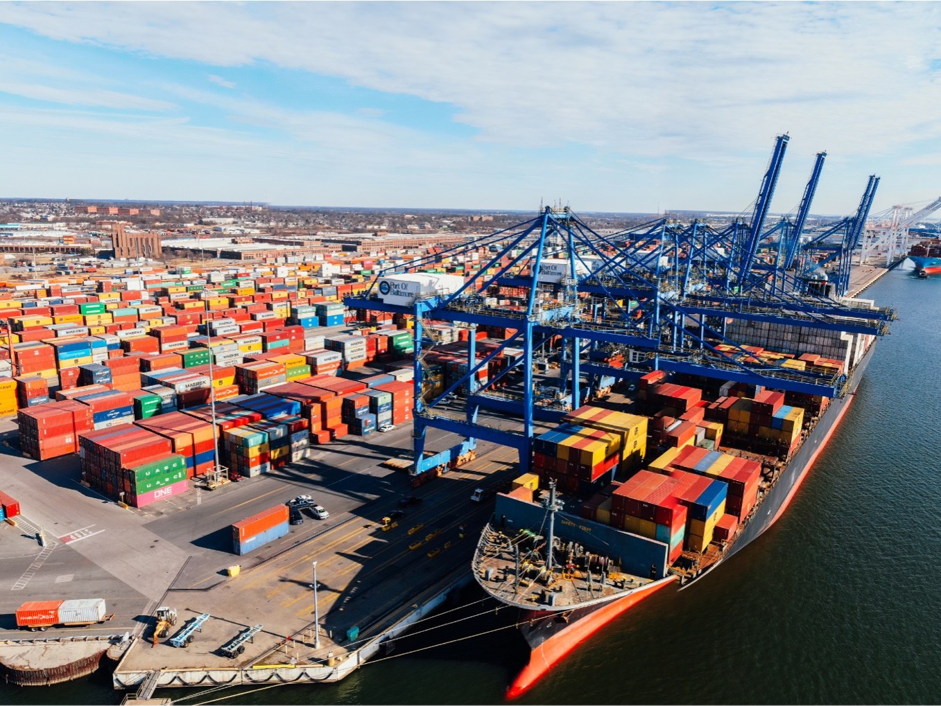
Industry · Ports & Harbors
Operate ports with the precision of air traffic control.
Marine forecasts and intelligence for ports, harbours and terminals — turning maritime uncertainty into operational advantage.
Marine forecasts and intelligence for ports, harbours and terminals — turning maritime uncertainty into operational advantage.
Ports handle approximately 90% of global trade. The Port of Rotterdam alone contributes €60B to Dutch GDP. A single day of downtime at a major terminal costs millions in demurrage and cascades through global supply chains.
When the Ever Given blocked the Suez Canal for six days, it disrupted $9.6B of trade per day. Modern port operations cannot afford to react to environmental events — they must anticipate and plan around them.
We deliver oceanographic and metocean forecasts customised to your port: wave height, current speed and direction, water quality, sediment dynamics — calibrated to your specific basin, berth and operational thresholds.
Continuous measurement from buoys deployed within your port environment, or from your existing infrastructure.
7-day forecasts of metocean and water-quality parameters, with alerts categorised for different port operations.
Historical analysis for new berth construction, channel dredging, or diagnosing recurring operational disruptions.
Significant wave height, swell direction, set-down predictions for safe berthing.
Surface and depth profiles, tidal current modelling for pilotage decisions.
Plume tracking, deposition zone forecasts, scour around berths and channels.
Powered by Fugro Weather — 24/7 marine meteorology desk in Singapore and the UK.
Forecast-driven scheduling means fewer marginal-condition operations and fewer near-misses.
Identify the most favourable 24-hour windows up to seven days ahead. Reduce demurrage exposure.
Sediment forecasts and historical analysis support efficient, evidence-based dredging schedules.
Continuous oceanographic intelligence supports environmental reporting and risk assessments.
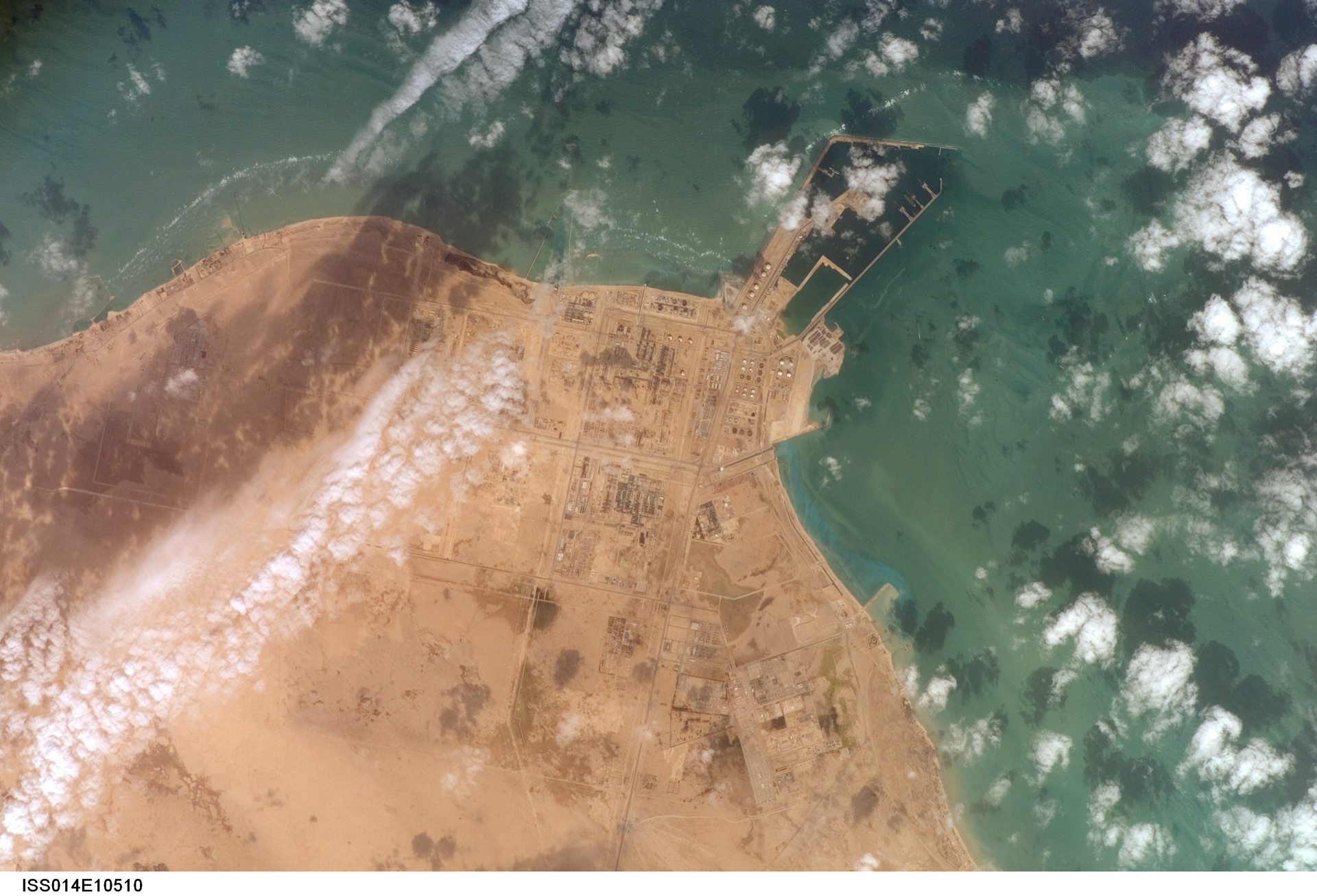
At Qatar's Ras Laffan Industrial City — home to the world's largest LNG export facility handling 77 million tonnes annually — Qatargas faced a critical challenge: how to maintain flawless operations when a single day of downtime could cost millions and disrupt global energy supply chains.
A three-buoy SEAWATCH® network now delivers real-time oceanographic, meteorological and geotechnical intelligence — supporting continuous safe loading operations with predictive analytics for wave, current, and water-quality conditions.
30-minute discovery call. We map your operational risk to the parameters that matter at your port, and recommend whether SEAWATCH® is a fit.
Book a meeting